
Trace a Monroe Township Street by Address
A Monroe Township street directory starts with a physical address and works outward through address-keyed records. The tax card and map supply the parcel anchor. The deed index supplies legal ownership history. A voter record, where lawfully available, can add a dated civic-registration clue. Directories, census releases, newspapers, and probate help with past household research. The order matters because street numbers can change, while a block, lot, legal description, or recorded map can bridge an older address.
First use USPS ZIP Lookup to normalize a mailing address. Then use the Monroe Township Tax Assessor route and the linked parcel map. Do not collapse the situs address with the mailing address. A tax bill may go to an estate, trust, corporation, attorney, or owner elsewhere, so it does not prove a current household.
- Search the property address and save the situs, owner display, block, lot, and assessment date shown.
- Open the Monroe ArcGIS viewer, select the parcel if its live map tools allow it, and note adjoining parcels.
- Search the County Clerk index by town, legal description, party, or block and lot for the ownership record.
- Use the voter-status or election-custodian route only as a dated registration check, not as a complete block list.
- For an older address, ask the library whether it holds a reverse directory, then pair any entry with census or newspaper evidence.
Monroe Township Street Directory Parcel Keys
The county property screen was not fully rendered during research, so its exact labels, matching rules, exports, and result fields must be confirmed on the live service. The documented Monroe Township property concepts are owner name, property or situs address, municipality, block, lot, parcel identifier, and possibly ZIP or address fields. Use these as starting keys, not a promise about a particular form layout.
| Search key | Street-directory use | Limit |
|---|---|---|
| Owner name | Find an owner-of-record lead | Does not identify every occupant |
| Situs address | Locate the physical parcel | May differ from tax mailing address |
| Block and lot | Match tax, map, deed, and permit files | Portal format was not verified |
| Legal description | Bridge deeds, plats, and prior addresses | May be more useful than a street number |
Monroe’s assessor maintains tax-list, assessment, map, and exempt-parcel information. About 11 percent of township land is identified as tax-exempt, including public and institutional land. An owner label on a park, church, cemetery, school-related property, or common tract is a property classification result, not a missing resident search result.
Map a Monroe Township Street Parcel
The Monroe ArcGIS viewer is the map-to-parcel step in a street directory workflow. Research verified the public application URL but not its current layers, popup fields, legend, address box, buffer tool, print control, or data export. Zoom to a confirmed street, select the intended parcel if available, and preserve the road name, parcel outline, map scale, and surrounding parcel outlines. Then confirm the parcel key in the assessment system rather than relying on the map label alone.
For a whole street, record each parcel separately. Contiguous parcels may be common land, association land, a drainage tract, or exempt property. Nearby street numbers are not necessarily shared-boundary neighbors. County GIS is the office-level fallback for map and data-layer questions, while the municipal assessor is the appropriate source for assessment questions.
Monroe Township Street Directory Record Sets
A street directory gains reliability by preserving the source role. The tax roll shows a parcel and owner-of-record. GIS maps parcel geography. Recorded instruments show dated legal parties. Permit and code files can supply address-related application data when releasable. Voter, directory, census, and newspaper sources can add historical or civic context. They should not be merged into a claim that every person on a street has been identified.
| Address record | Keeper | Street clue | Access channel |
|---|---|---|---|
| Tax parcel/card | Monroe assessor / Tax Board | Situs, owner, mailing address, parcel key | Portal, counter, phone |
| GIS parcel map | Township / county GIS | Shape, frontage, adjacent parcels | ArcGIS viewer; layer details unverified |
| Deeds and maps | Middlesex County Clerk | Grantor, grantee, legal description, date | Online index and Record Room |
| Permit or code file | Construction or Zoning | Applicant, work, dates when releasable | OPRA, counter, or form route |
| Historic household sources | Library / Archives | Directory, census, obituary clue | Library databases and research desk |
Parcel number, block, lot, and legal description connect the strongest records. A plain street name is a weaker link because a rural route, postal label, subdivision, or historical jurisdiction can differ. The full dated ownership trail belongs in the Monroe Township past residents search.
Follow Monroe Township Deeds Along a Street
The Middlesex browser records search can search party name, document type, town, date range, consideration, instrument number, book and page, lot and block, map number, parcel ID, and legal-description fields. Party-name searches use last name first name without commas and the help describes automatic wildcard behavior. Use Monroe Township as the town where appropriate, then save the instrument number, recording date, party names, and legal fields actually shown.
The current county landing page says deeds are online from 1929, mortgages from 1950, and other documents from 1958. A 2022 digitization announcement said older deeds back to 1923 were converted to the official system. That is a live verification issue, not proof that every earlier Monroe document is online. The Record Room in New Brunswick is the fallback, and staff may explain the computerized index but cannot conduct a title search.
A source image from the Middlesex County deed and official-records search shows the browser-based search entry point.
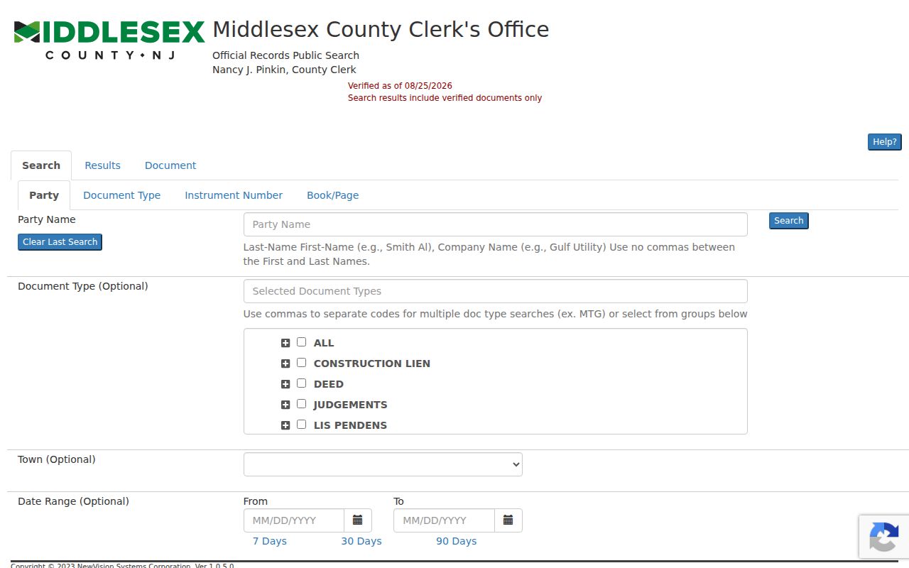
The official search supports several legal and party keys, which helps when an address does not appear consistently in older records.
Monroe Township Address Requests
Research found no public Monroe permit or code search interface with inspectable fields. For a construction, zoning, planning, engineering, code, utility, or street-opening file, direct a written OPRA request to the appropriate custodian. Include the street address, block and lot if known, permit type, approximate date, and desired electronic format. An address file may contain an application, applicant or contractor name, plan reference, inspection dates, approval, or final status, but no uninspected file should be described as containing every item.
OPRA requests must be in writing and go to the correct custodian. The standard response period is seven business days, subject to statutory exceptions and reviews. The municipal forms hub is a useful map of potential record holders, but it is not a searchable permit database. Separate a request for an index or list from a request for a large plan file so the scope is clear.
Monroe Township Street Directory Voter Evidence
Voter material is useful only as a carefully dated civic clue. New Jersey's public registry framework can include a name, address, date of birth, party affiliation, and voting history, but it does not include signatures. Voting history records participation, not candidate choices. The public status tool is an exact-match service, and its rendered fields were blocked during research. Differences in hyphens, spaces, married names, and middle initials can affect a match, so record the spelling used and do not treat an unavailable result as proof that a person was absent from a Monroe Township street.
A street-wide roster is a separate request from the status checker. The Middlesex elections custodian can address a written request for a current Title 19 registry list, its election-district scope, format, fields, fee, and any requester qualification. Protected home addresses, Address Confidentiality Program participants, Daniel's Law participants, and other exclusions remain outside a lawful street-directory result. Ask the custodian whether an address, status, district, or mailing field is included instead of assuming that every field is supplied.
Use a voter match to corroborate a person at a date, then compare it with the parcel's situs address, a deed's legal description, a court venue, or a newspaper notice. It cannot establish a complete household, and it should never be used to monitor people along the street. That separation keeps a Monroe Township street directory focused on public record roles rather than speculation.
For a historical street question, preserve the election district, municipality name, record date, and source of any list. Monroe's historic boundaries changed, and an old voter or poll-book lead may sit under a different municipality label. State Archives, the county election office, and library microfilm are possible follow-up channels, but no Monroe-specific online historical voter run was confirmed. Ask for the relevant ward or district and date range rather than requesting an undifferentiated list.
Historic Monroe Township Street Searches
Historic residents along a Monroe Township street need a different chain. The library’s website confirms licensed genealogy databases, a digital community newspaper archive, and onsite FamilySearch access, but it does not publish a verified reverse-directory run or local city-directory year list. Ask the reference desk to check the catalog, local-history files, old newspapers, yearbooks, cemetery references, and directory shelves. Record the publisher, year, page, abbreviation key, and whether a reverse section actually exists.
Monroe was formed in 1838 and later boundary changes involved Millstone, East Brunswick, Cranbury, and Jamesburg. An old address can therefore be indexed under a former jurisdiction. Search the legal place at the date of the record and use a legal description, subdivision name, or historic map where the street number fails. No verified Monroe street-renumbering table was found, so a claimed old-to-new street match needs document support.
Property Fraud Alerts for Monroe Township
The County Clerk’s Property Fraud Alert offers a county-linked notification route when a matching name or property description is recorded. It is a consumer-protection tool, not proof that fraud occurred or that a person occupies a parcel. When a letter or message claims a deed-related charge, verify the instrument number, recording date, and fee against the County Clerk source rather than using a number printed in the solicitation.
A source image from the county Property Fraud Alert signup shows the official alert channel.
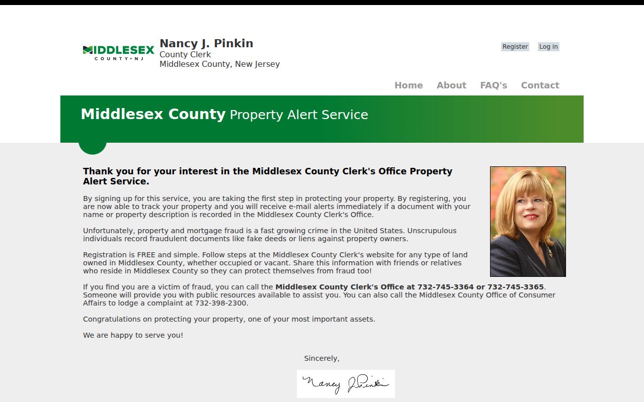
Use the county route to review recorded-document notices and preserve the official instrument details for any follow-up.
Limits of a Monroe Township Street Directory
A Monroe Township street directory cannot prove who currently lives at every address. A parcel card identifies an owner-of-record and may show a tax mailing address. A deed names legal parties at a recorded date. A public voter record can be protected, inactive, or absent for many reasons. Children, nonregistered adults, visitors, people using a post office box, and other occupants may not appear in a public source. Utility, delivery, and MVC addresses are not public household lists.
Lawful use. Use Monroe Township street records for personal research, family history, civic questions, and verification. Do not use an address or record to stalk, harass, intimidate, or harm anyone.
Address Confidentiality Program participants, Daniel’s Law protections, sealed court records, and other legal limits can make a correct result unavailable. Ask the custodian about a lawful redacted route. New Jersey stalking and harassment laws prohibit conduct that targets or alarms a person, so a failed street-directory match is never a reason to pursue private data elsewhere.